
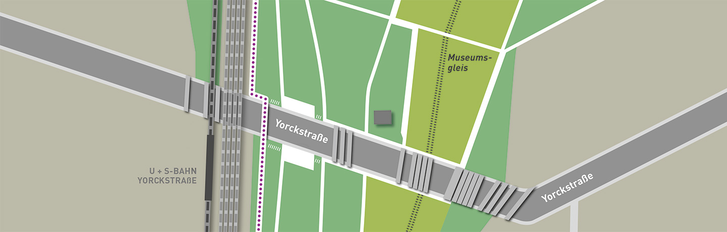


Information centre
The information centre presents exhibition panels with details on the bridges’ controversial planning and the period of National Socialism.
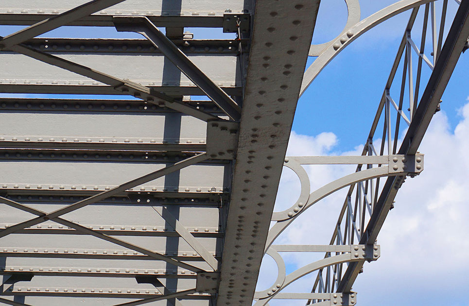
Bridge 5
Built in 1875, this bridge is the oldest preserved steel bridge in Berlin. The plate-girder bridge has an open deck and is supported by cast-iron columns with simple central decorative rings.
Abutments
It is very likely that the famous “Greppiner Klinker” was used to clad the abutments in yellow brickwork. The abutments transfer the forces from the bridge structure to the ground.
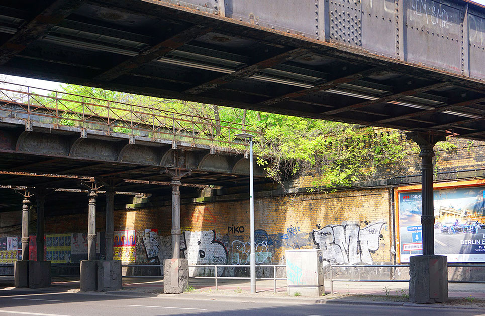
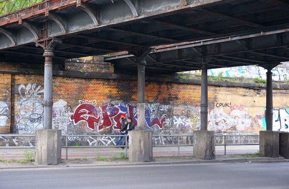
Hartung column
The characteristically ornate cast-iron hinged columns named after the architect Hugo Hartung were used in many bridge-building projects in Berlin in the late 19th century. Hinged columns have hinges at both ends to accommodate any movement in the bridge structure.

Concrete bases
The solid concrete bases were added during World War II to prevent the hinged columns from falling over if an air-pressure wave from a bomb blast briefly lifted the deck above them.
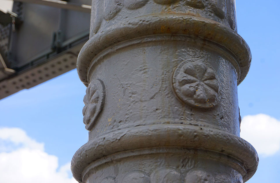
Hartwich column
The cast-iron column named after the railway engineer Emil Hermann Hartwich is clearly inspired by ancient design motifs.
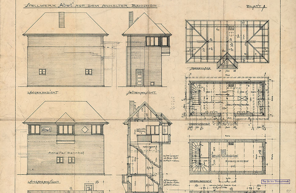
Signal tower
The Abwt signal tower (Anhalter Bahnhof West Tower) was a mechanical signal tower used to remotely operate points and signals and also served to provide safety from a central location. Extract from construction documents of the Abwt signal tower, Berlin, July 1927.
Landesarchiv Berlin, A Rep.080 (Karten), 27
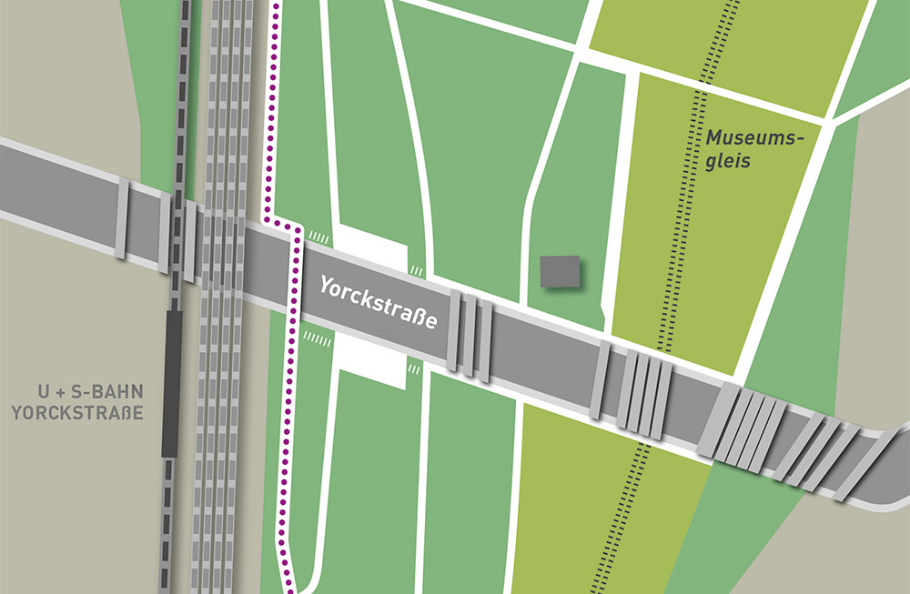
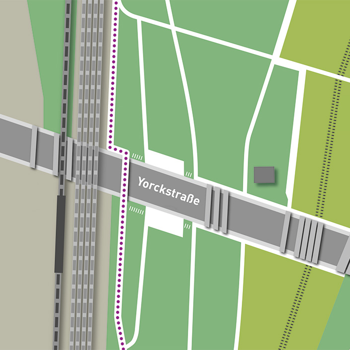
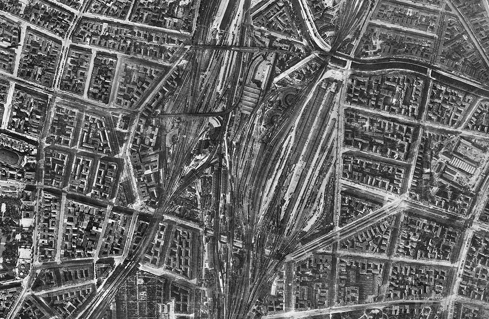
Railway tracks in the park
Many railway tracks are still found in the park undergrowth as evidence of the area’s extensive railway networks.
Geoportal Berlin
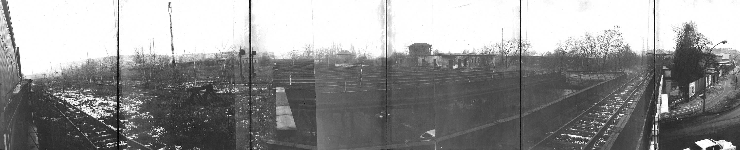
View from the south
Panorama image consisting of several photos taken in 1974. Extract from an urban planning report by the Berlin planners Manfred Gehrmann und Partner.
Geoportal Berlin