
Railways versus development plan
Back in the first half of the 19th century, the area around today’s Yorckbrücken was situated outside Berlin. At the time, the city was considerably smaller, only reaching about as far as the Landwehrkanal. To the south, the areas known as Schöneberger Feldmark, Tempelhofer Feldmark and Kreuzberg were all situated in the open countryside. The railway tracks ran at ground level, which meant that all modes of transport – trains, horse-drawn carriages and pedestrians – had to cross at the same level.
Berlin quickly developed into an industrial city and already had a million inhabitants by 1877. In 1844, the garden designer Peter Joseph Lenné produced a development plan which included a prestigious east-west boulevard. It consisted of a series of streets and squares with the names of generals from the time of the German Campaign during the Napoleonic Wars. The master plan known as the “Generalszug” led to decades-long discussions between urban planners and the railway companies. The city wanted the road that crossed the railway tracks to remain as straight as possible. The private railway companies tried to change the course of the boulevard and delay the start of construction work. In the second half of the 19th century, the transport situation around the stations was problematic. Roadblocks and accidents were becoming an increasing problem as trains passed.
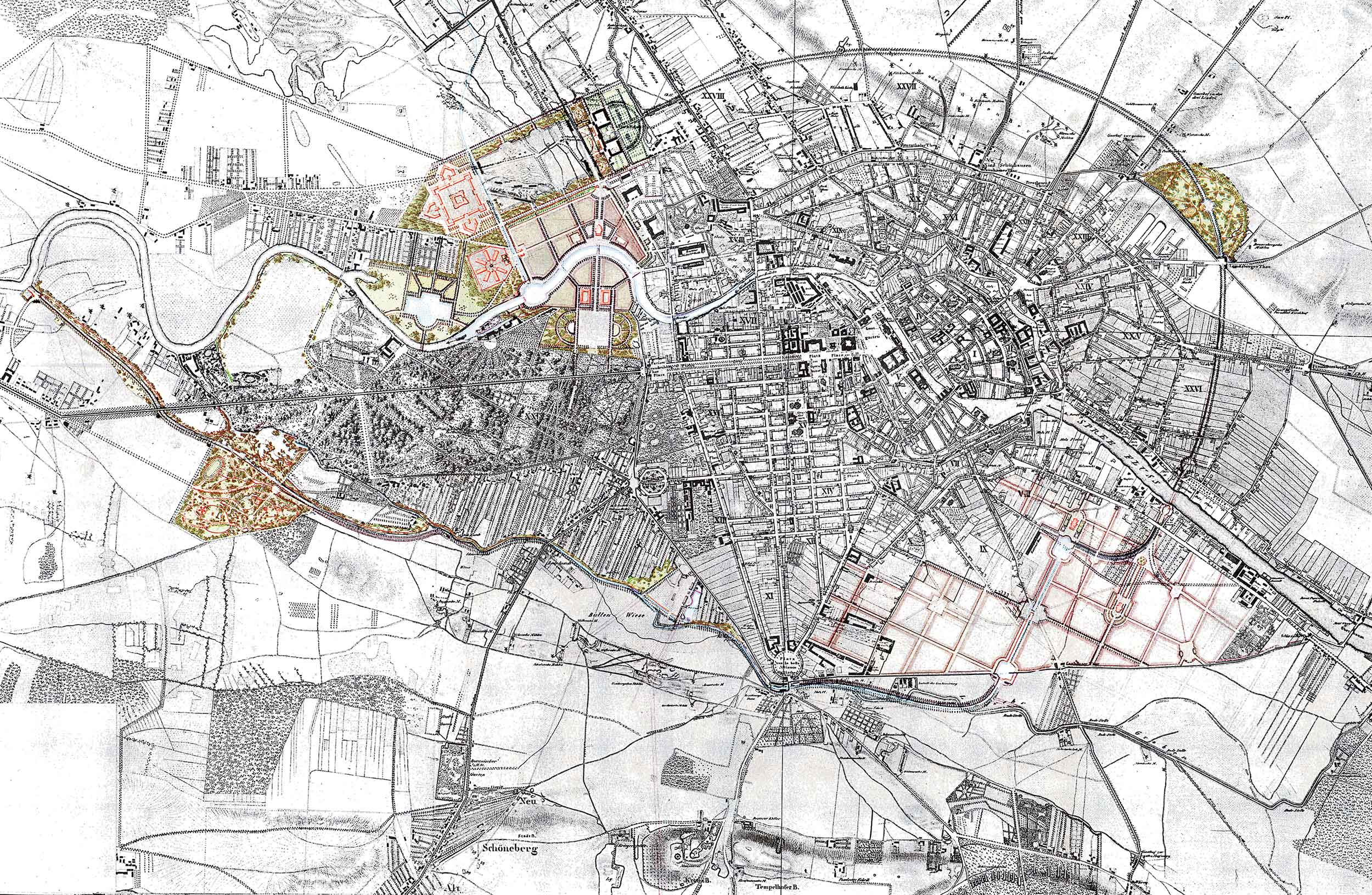

Development plan by Peter Joseph Lenné 1840
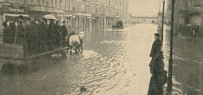

Flooding in Yorckstrasse, Photo by Hugo Rudolphy, April 14, 1902
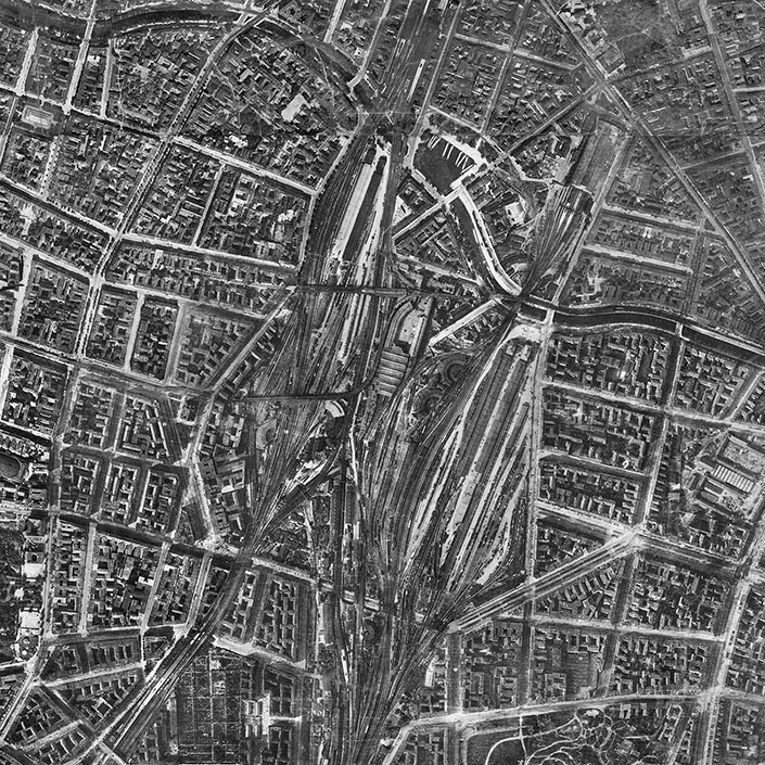

Aerial photograph taken in 1928, with Anhalter Bahnhof, Anhalter Güterbahnhof (freight railway station) and the Yorckbrücken
1 Development plan by Peter Joseph Lenné 1840
Peter Joseph Lenné: Projectirte Schmuck- und Grenzzüge von Berlin, 1840 / Berlin-Archiv, Braunschweig 1992
2 Flooding in Yorckstrasse, Photo by Hugo Rudolphy, April 14, 1902
Museen Tempelhof-Schöneberg / Archiv
3 Aerial photograph taken in 1928, with Anhalter Bahnhof, Anhalter Güterbahnhof (freight railway station) and the Yorckbrücken
Geoportal Berlin